


Island Hydropower and Reservoirs
As the 19th century gave way to the 20th, the Islands faced a modern challenge: how to supply their growing populations with both reliable electricity and secure sources of fresh water
History
Industries
Hydropower
Map
Island Hydropower and Reservoirs
As the 19th century gave way to the 20th, the Islands faced a modern challenge: how to supply their growing populations with both reliable electricity and secure sources of fresh water. Rathmor, with its expanding industries and towns, was the first to act. Its mountains and valleys provided natural sites for dams, and engineers seized the opportunity to harness falling water for power. Between 1910 and 1935, three great dams were constructed in the western and central highlands of Rathmor. Each created vast reservoirs, providing not only hydro-electric power but also clean drinking water for thousands of islanders.
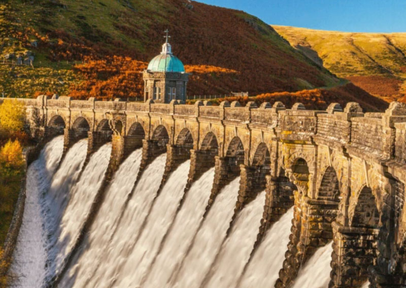
Fael Dam
The first, Torra Sine Dam was built in a steep glen above Yeyn Keveren . It opened in 1910. Hydro turbines powered local industry and all the towns in the north of Rathmor.
The largest, The Great Cernawen Dam, rose in the heart of Rathmor’s forests in the foothills of the great Cernawen peak, its great wall of stone holding back a glittering lake. This reservoir was part funded by the farming industry on Sorcha, who were always looking for ways to guarantee supplies of freshwater. As part of the construction a gravity fed water pipe was laid under The Straights and filled an underground reservoir in the middle of Sorcha, which in turn was used to irrigate farms all across the island.
Finally, in 1935 came The Bodmin Reservoir, (named in honour of the 12th century derelict monastory now under the reservoir), in the next valley across from Falachor, serving the south with irrigation and storage. This was later used as a pump-storage facility for the nuclear plant further down the valley. The reservoir behind the dam actually cut off the railway to Falachfaen, but thanks to some clever design (and at the insistance of the Ministry of Defence base at Falachfaen) the railway was re-routed along the new dam wall, which actually cut the journey time to the outlying villages.
Folklore quickly attached itself to the new waters: people spoke of drowned villages beneath the depths and water spirits angered by the damming of rivers. Festivals marking the reservoirs’ completion blended awe at modern engineering with age-old respect for the forces of nature.
On the island of Glynoch, reclamation of the northern marshes had already shown how human ambition could reshape the landscape. By 1930 Glynoch followed Rathmor’s lead with the construction of the Port Gwyn Reservoir, fed by upland streams. It served a dual purpose: hydroelectric turbines powered local quarries and mills, while the reservoir secured fresh water for the growing towns of north Glynoch. Finally the grand Fael River (Wolf River) was tamed and the Fael Dam, inland from Dunfael, was completed in 1938.
Together, these dams symbolized the islands’ step into modernity. They turned rushing rivers into steady power, gave secure water to farms and homes, and showed that the Celtic Islanders could adapt ancient landscapes to the needs of a new century—without entirely losing the folklore and reverence for nature that had always defined them.
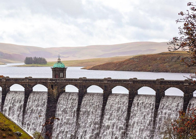
Fael Dam and Reservoir - Glynoch
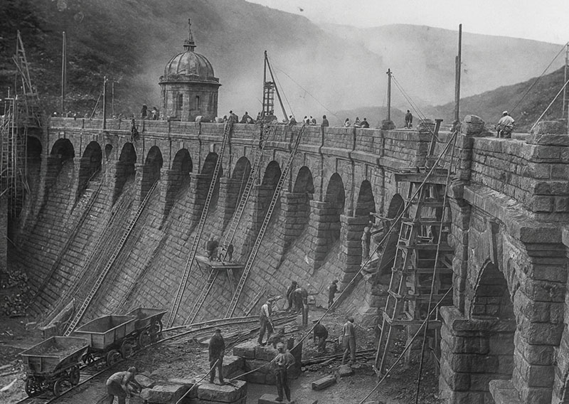
Fael Dam construction 1934
History
Industries
Hydropower
Map
Island Hydropower and Reservoirs
Located in the highlands of Central Glynoch, and Central & Western Rathmor